Informational only. Odds are from past agency totals or labeled models; every draw is random. Hunt-unit and hunt-area boundaries shown here are approximate representations and are not legal descriptions. Quotas, rules, maps and applicant pools change. Always check the latest state agency regulations and maps before you apply or hunt. The agency is authoritative. See the full disclaimer.
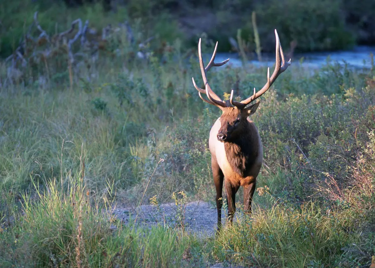
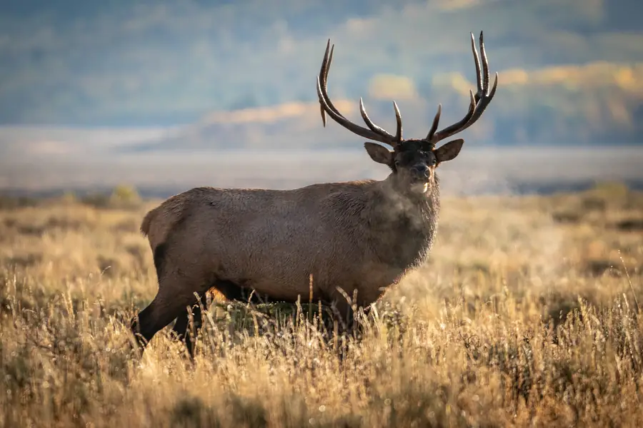
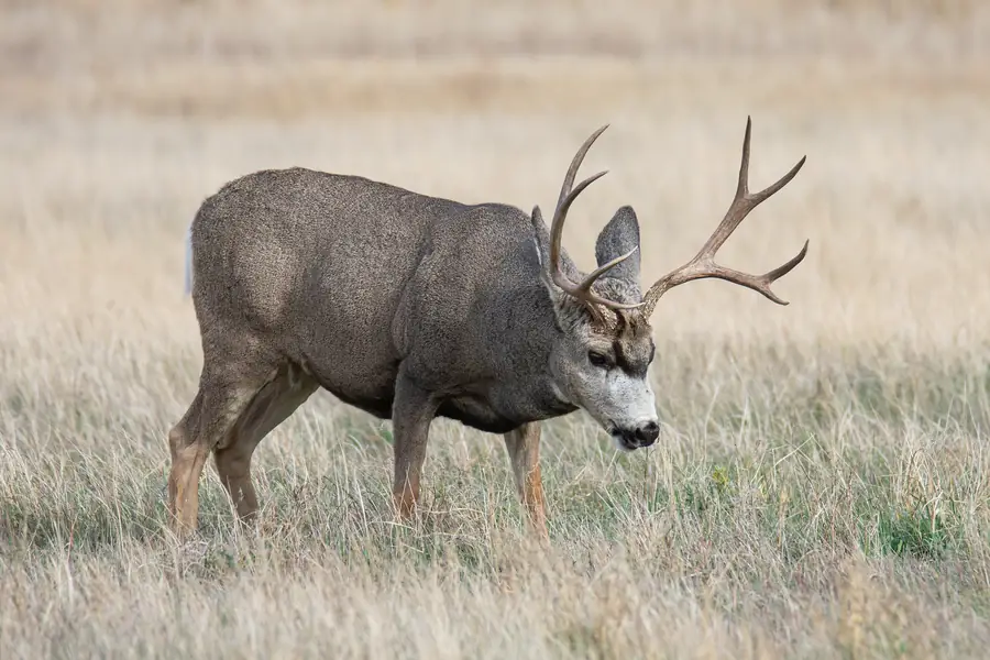
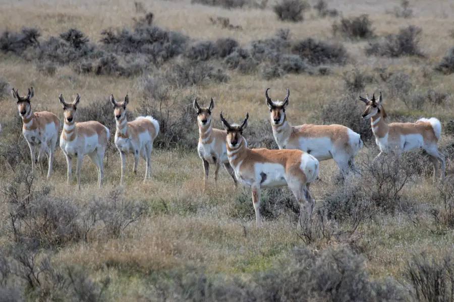
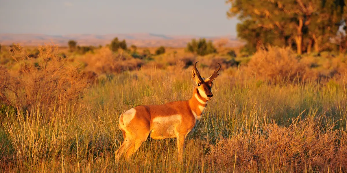
Photos: NPS, USFWS, BLM, USDA, USFS, Brian Stansberry, Amaury Laporte, Mary K. Hanson, Buck Valley Ranch, Kevin Floyd, Kandukuru Nagarjun, Judy Gallagher, Bureau of Land Management Alaska, NASA Goddard/Rebecca Roth, NOAA, Charles J. Sharp, Eddie O., Pexels (public domain) and CC0 contributors, via Wikimedia Commons. Photo credits.
Data sources: Texas Parks and Wildlife Department, Public Hunt Drawing System; Colorado Parks and Wildlife (CPW); Wyoming Game and Fish Department (WGFD); Montana Fish, Wildlife & Parks (FWP). TagCanyon is not affiliated with, endorsed by, or sponsored by TPWD, CPW, WGFD, FWP or any state wildlife agency. Tables and text are our own; no agency text, maps or logos are reproduced. Photos are public-domain U.S. government images (National Park Service, U.S. Fish and Wildlife Service, Bureau of Land Management) and CC0 images (photo credits); their use implies no endorsement.
Affiliate disclosure: some links on TagCanyon are affiliate links. Brands cannot buy a spot on our lists, and links never change the odds or data. Gear links go through joined affiliate networks, mainly OpticsPlanet via the Awin network, and we may earn from qualifying purchases at no extra cost to you. Details.
Privacy: no cookies; we use privacy-friendly Cloudflare Web Analytics (no personal tracking). The newsletter form collects only your email address, sent to Kit to deliver the email. Privacy policy. Contact and corrections: hello@tagcanyon.com. Page built 2026-10-30 20:34 CDT.